In pilot
In the app
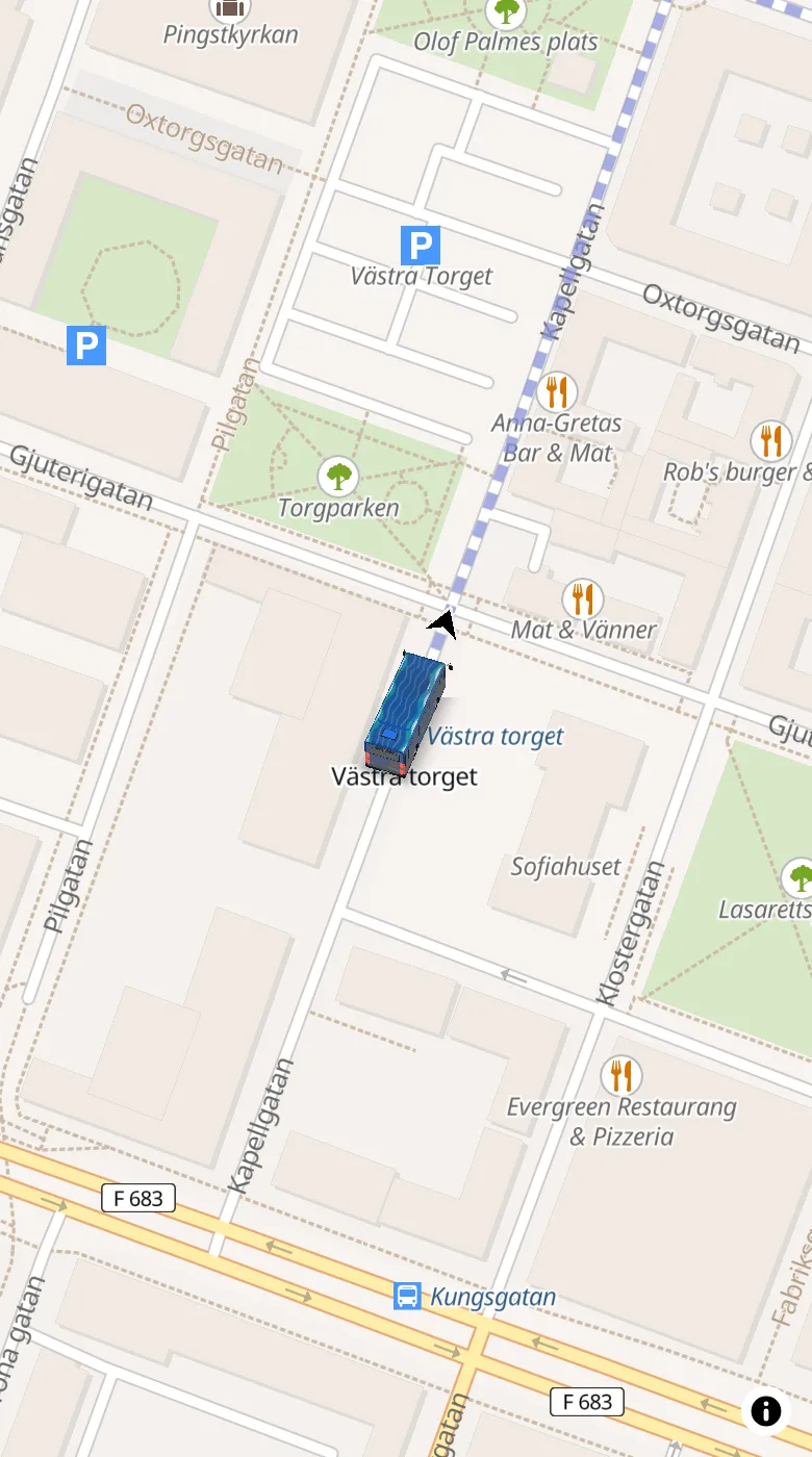
The vehicle as a marker in the journey planner or map app. An arrow zoomed out, the vehicle when you zoom in.
How you connect itLinjeliv · 3D vehicles for maps
True-to-size 3D vehicles for the map you already have. An arrow when you zoom out, the vehicle when you zoom in. In your colour and with your wrap.
Loading the map…
Loading the map…
Open the map on your phone
Scan the code with your camera. The map opens with the same vehicle and map.
The vehicles
From the scooter to the ferry. Choose a vehicle and it drives on the map above. Up close you turn it, open its doors and try it in your colour.
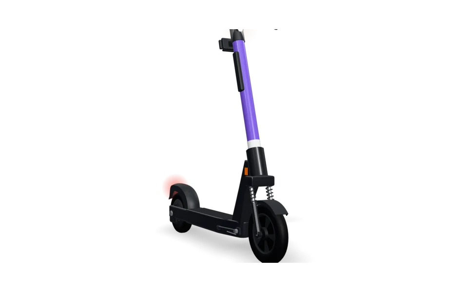 E-scooter
1.24 m1.19 m
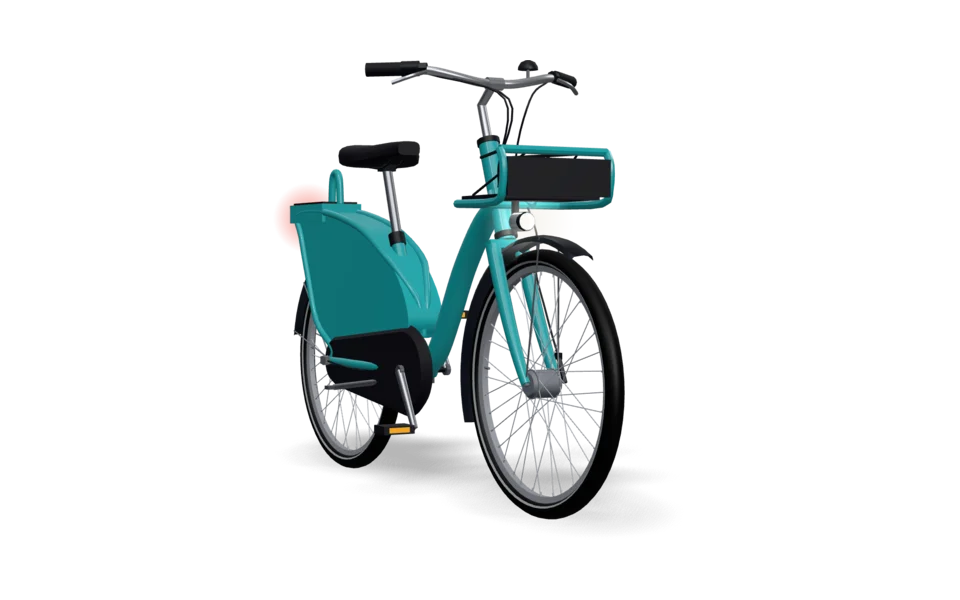 Shared bike
1.75 m1.76 m
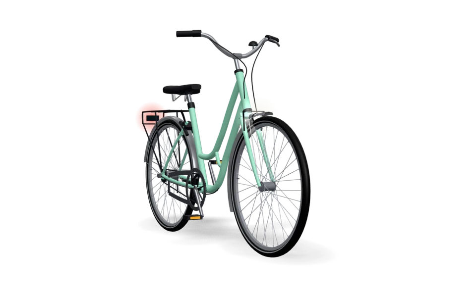 City bike
1.84 m1.86 m
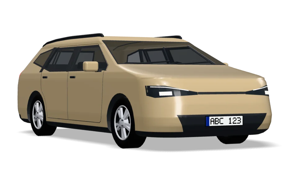 Estate
4.65 m3.67 m
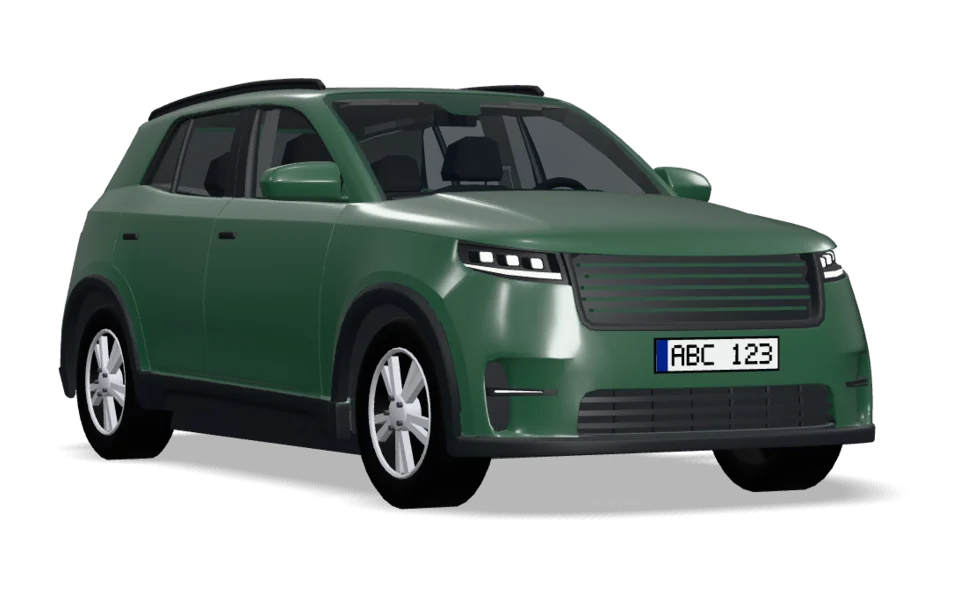 SUV
4.71 m3.72 m
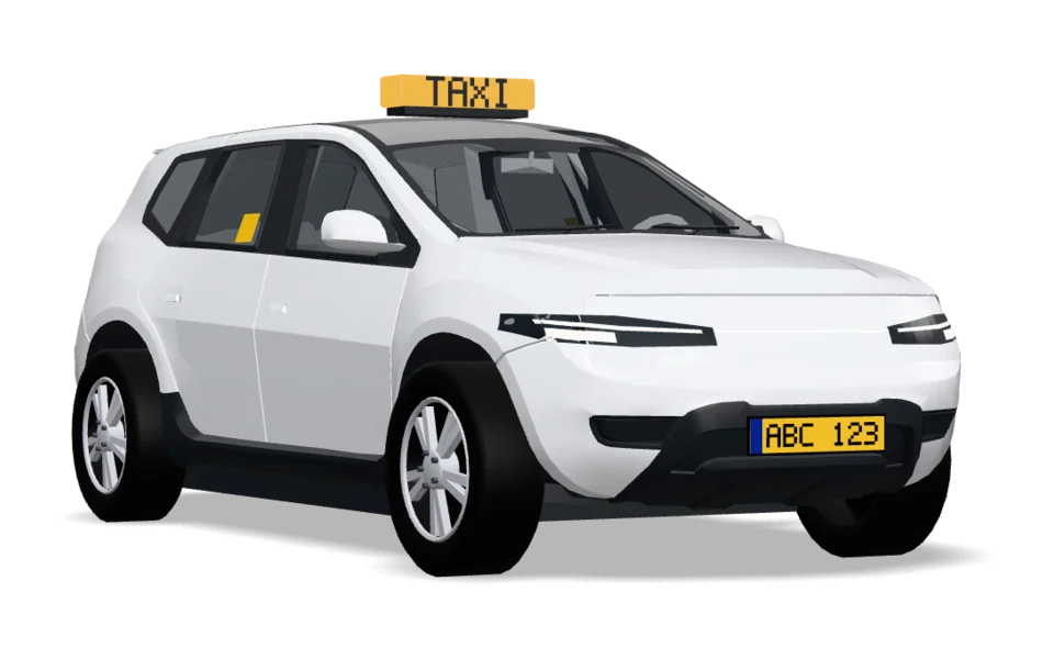 Taxi
4.75 m3.76 m
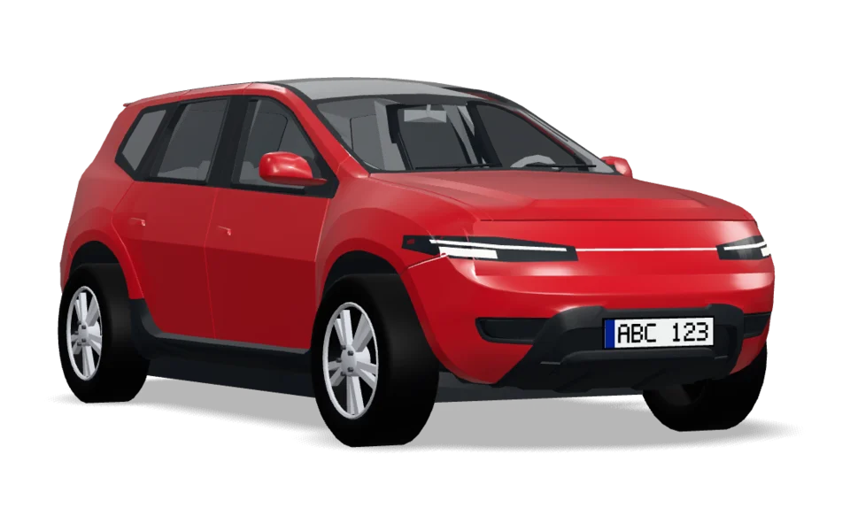 Crossover
4.75 m3.76 m
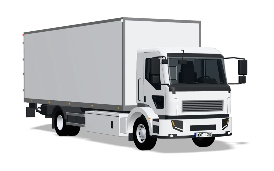 Delivery truck
9.45 m7.18 m
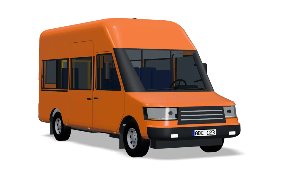 Minibus
5.93 m4.55 m
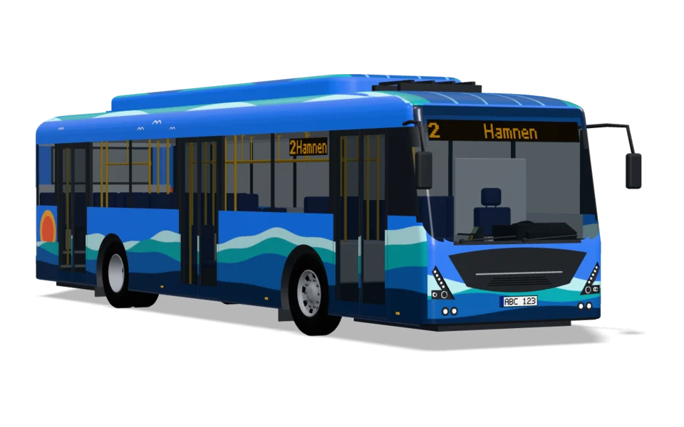 City bus
12.1 m8.1 m
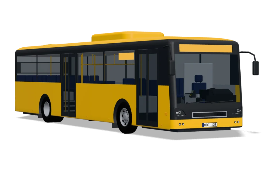 Regional bus
12.3 m8.25 m
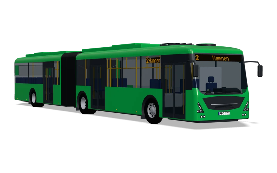 Articulated bus
18.7 m12.2 m
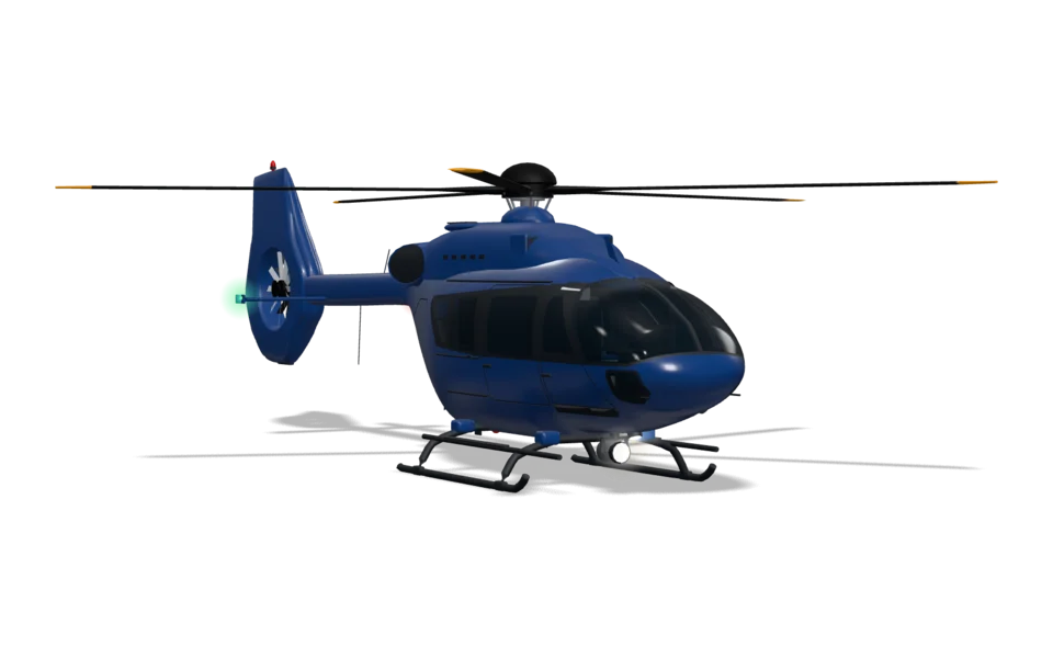 Helicopter
11.7 m9.15 m
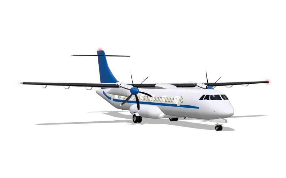 Aeroplane
27.2 m19.3 m
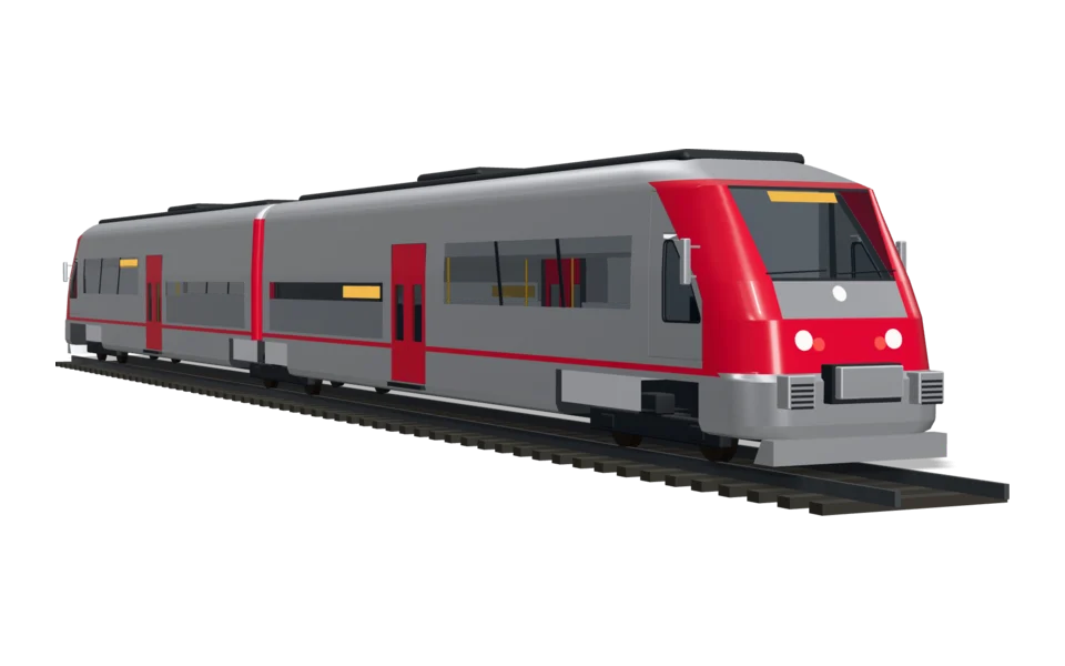 Railcar
38.4 m20 m
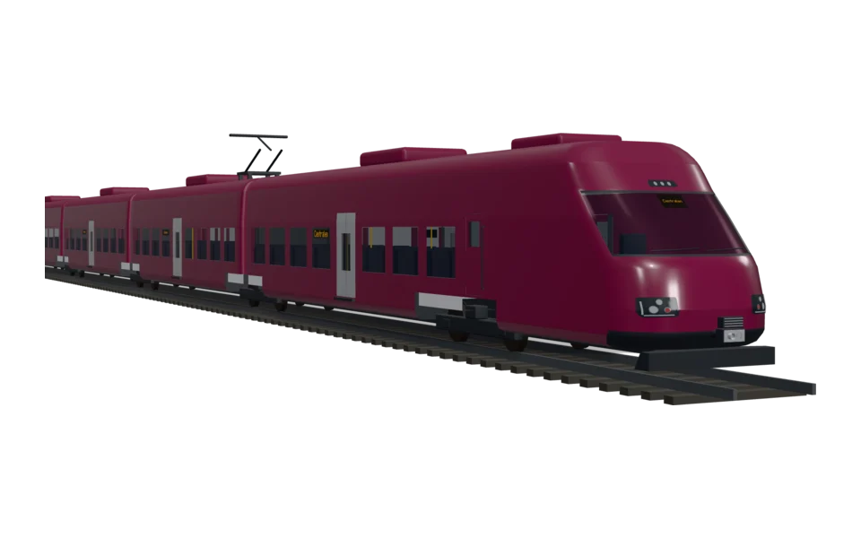 Regional train
76.3 m38.8 m
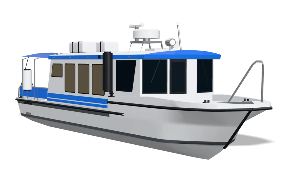 Water taxi
11.6 m8.4 m
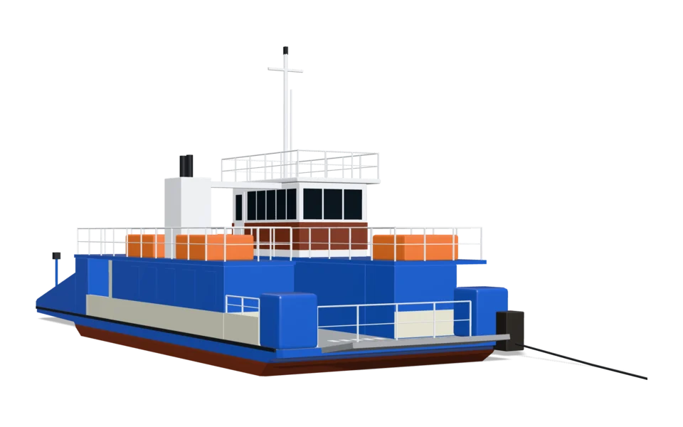 Cable ferry
23 m25.1 m
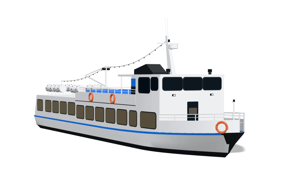 Tour boat
26.3 m19.5 m
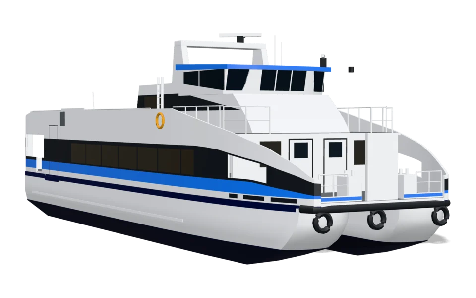 Catamaran
27.1 m18 m
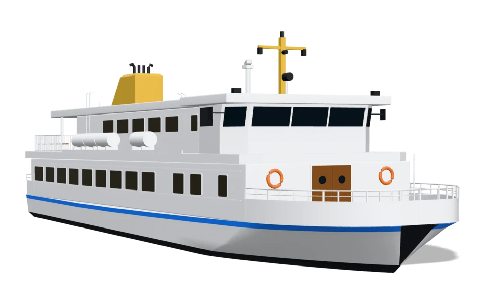 Archipelago boat
30.2 m21 m
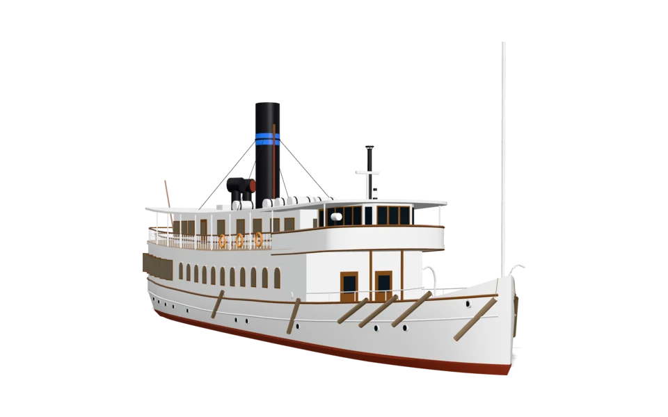 Steamboat
32.8 m21 m
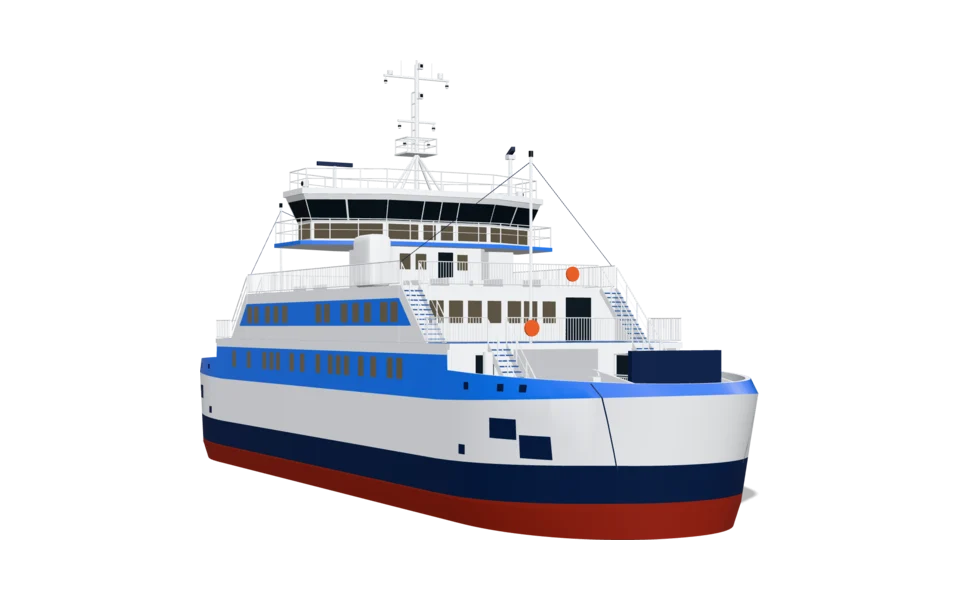 Small car ferry
50 m33 m
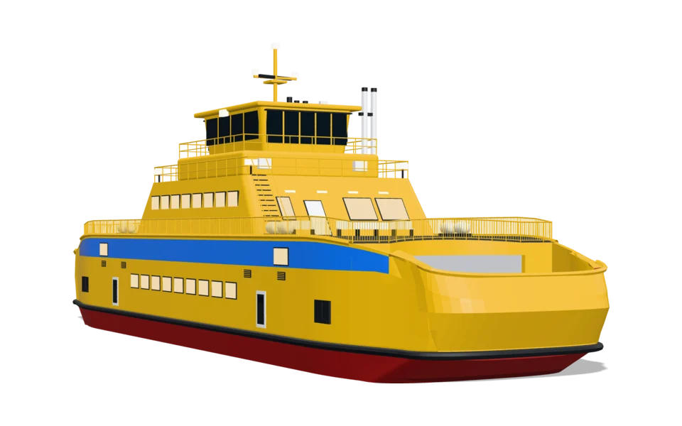 Ferry
58.3 m36 m
The smallest are shown larger than they are, so that they can be seen. The length is under each vehicle.
Linjeliv's vehicles on a journey through a harbour town. The place labels are an example of what you can show along the way.
Today
On most maps a vehicle is a dot. It shows that something is moving, but not what. Linjeliv swaps the dot for the vehicle, so that whoever is looking recognises it and sees it coming.
For public transport, journey planners, mobility apps, fleets and municipalities. No new map, just the vehicles on the one you have.
Loading the map…
The same vehicles, in the same colours and wraps, where your passengers and customers are.
In pilot
The vehicle as a marker in the journey planner or map app. An arrow zoomed out, the vehicle when you zoom in.
How you connect it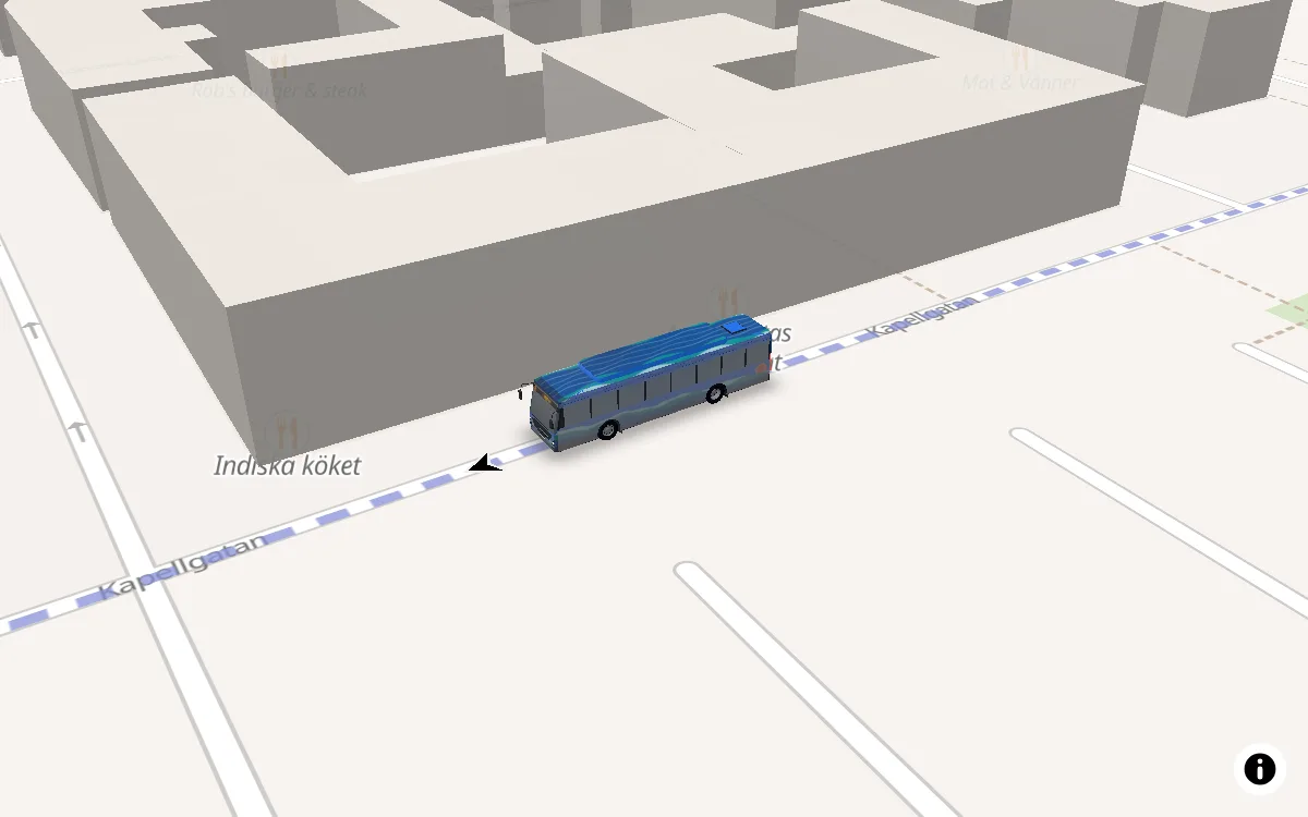
Finns
The vehicles in 3D on a map on the web. The doors open at the stop, and the lift folds out.
See them on the map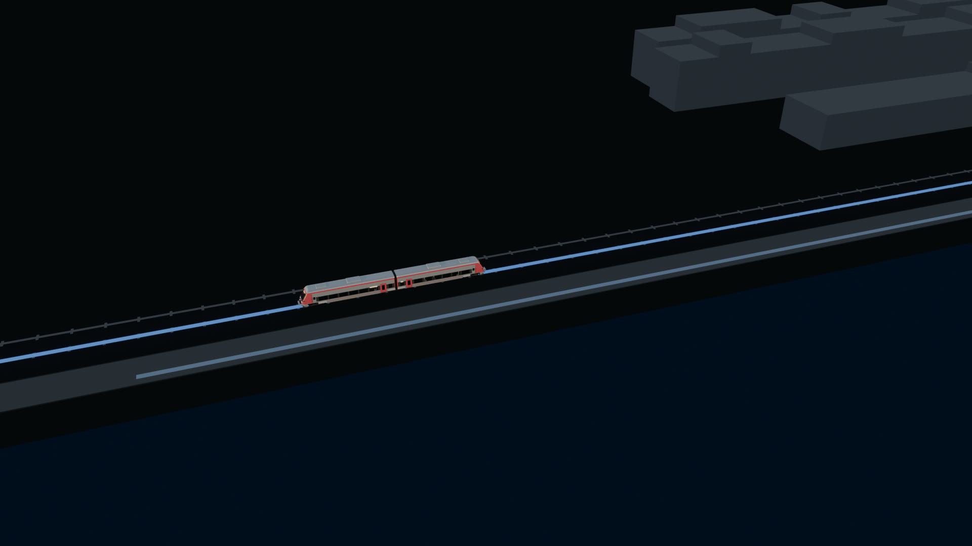
Finns
The film model, with an interior, in your wrap. For film, pictures and screens.
Watch the filmMap data © OpenStreetMap contributors. Map style from OpenFreeMap.
How it goes
Half an hour, online. We show the vehicles on the map in your colours and answer your questions.
The bus, or the vehicle you need, on your map. It follows your line, an arrow zoomed out and the vehicle zoomed in. Everything else stays as it is today.
Colour, arrow and wrap, in code or with the template.
More vehicles, film, themes and kids mode, at the pace that suits you.
The bus is live in the journey planners of five Swedish regions, with more on the way.
We show you Linjeliv in a short walkthrough: the arrow, the bus and how it follows a line. Then you decide whether to go on.
Book a walkthrough See how it works
30 minutes, online. We show the vehicles on the map in your colours.