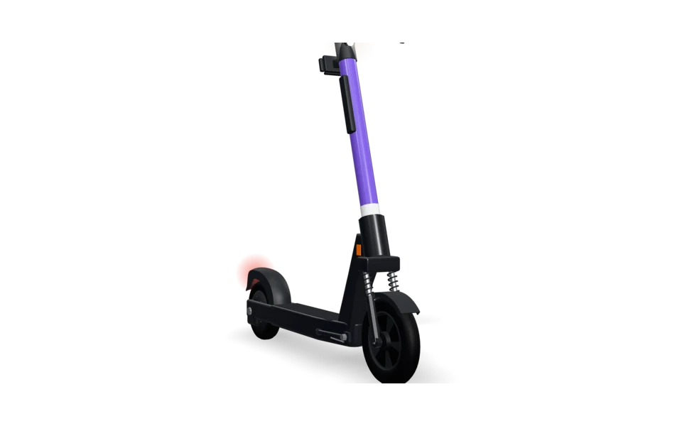
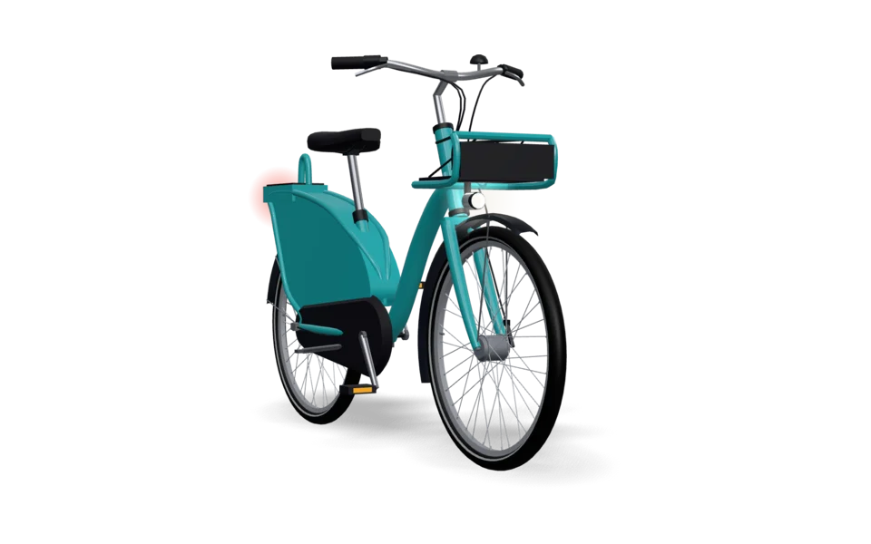
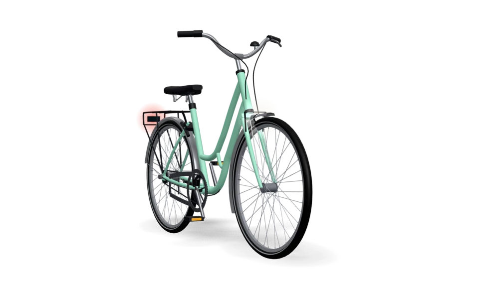
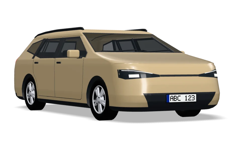
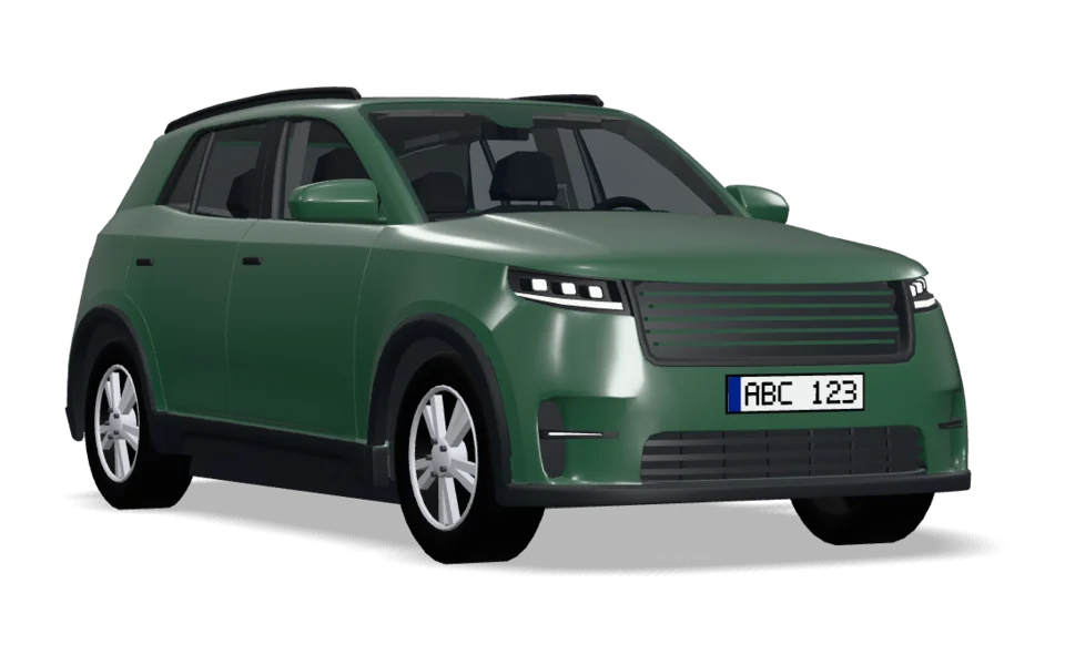
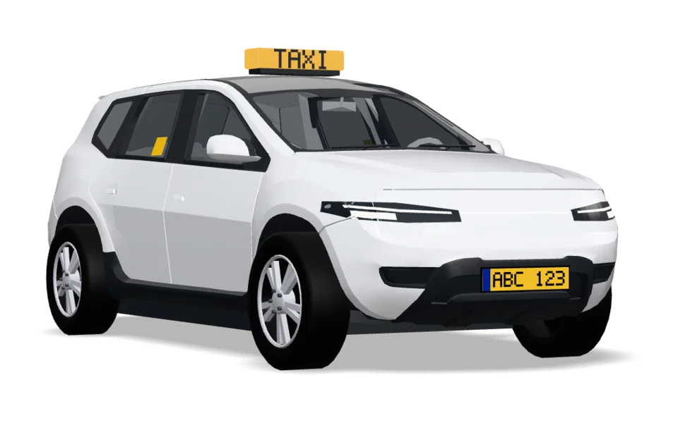
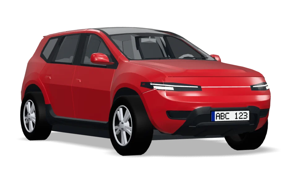
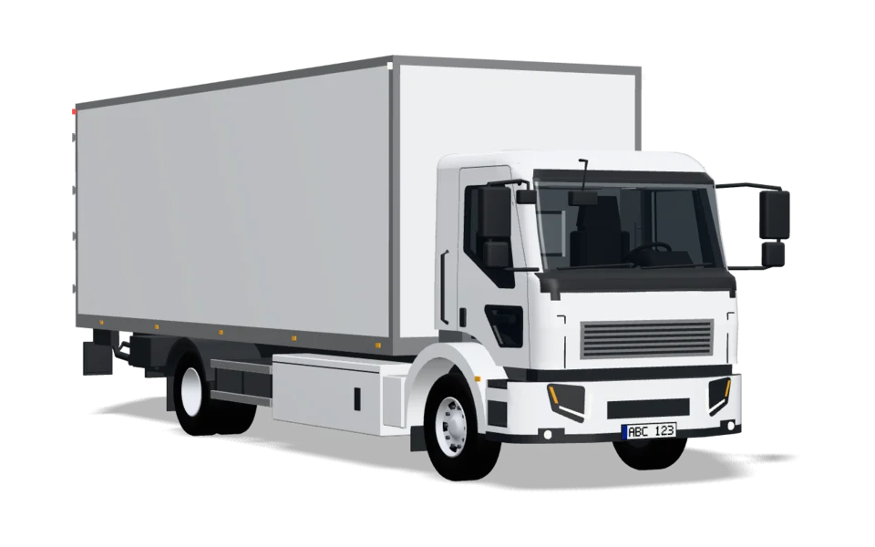
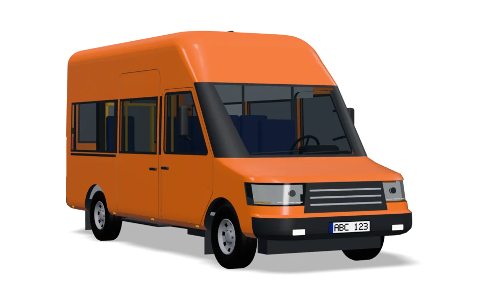
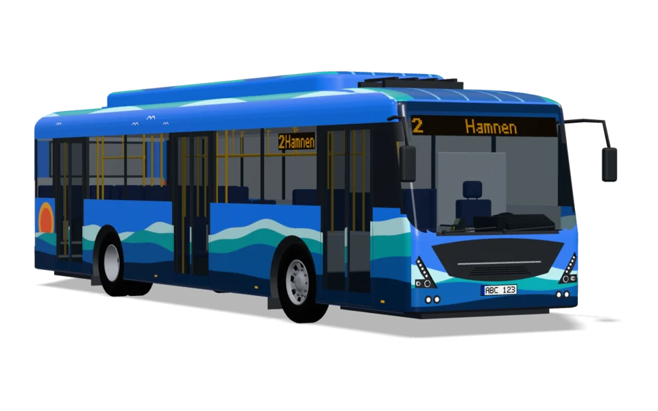
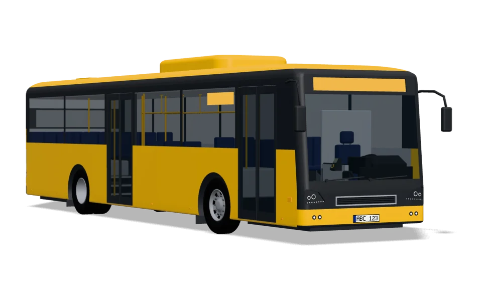
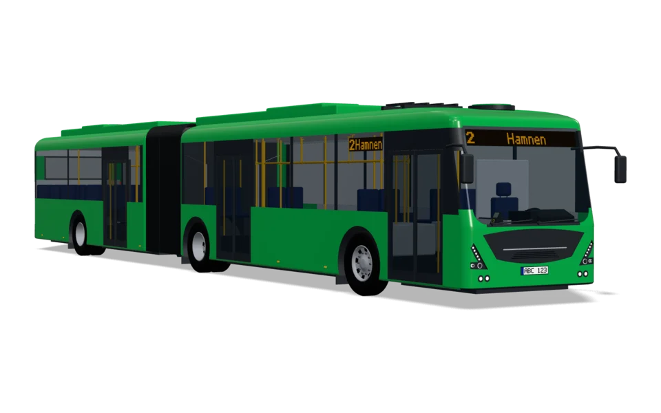
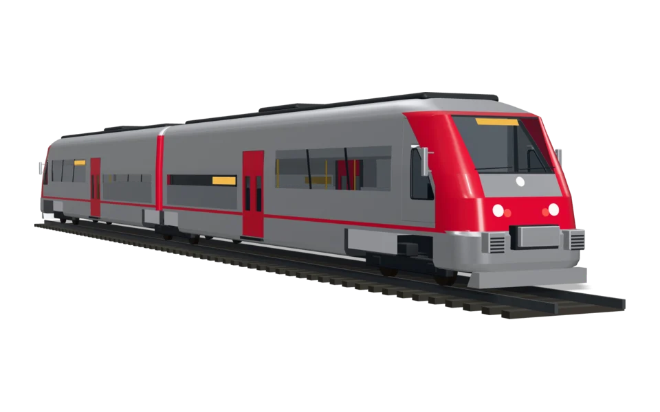
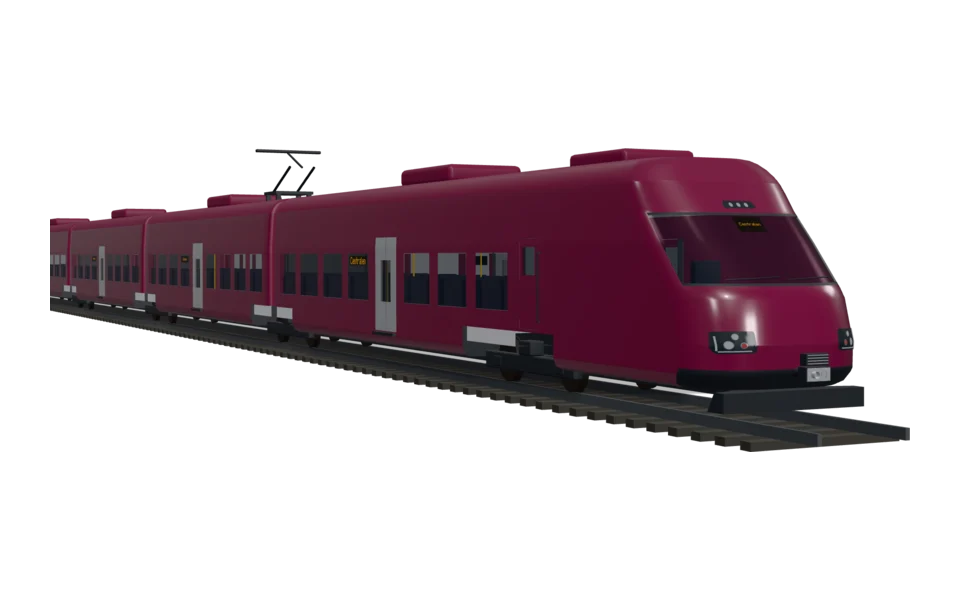
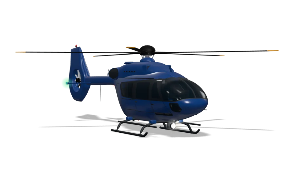
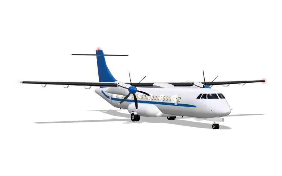
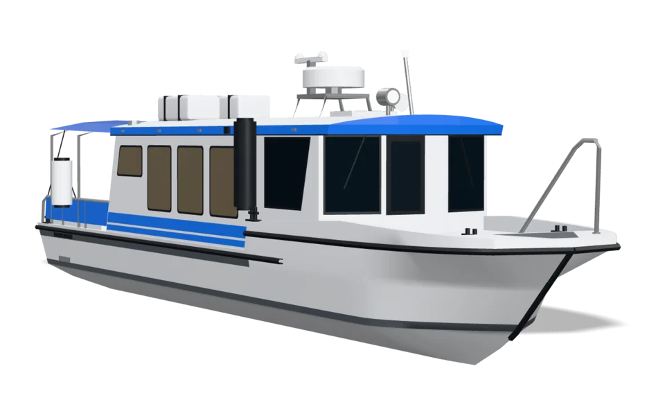
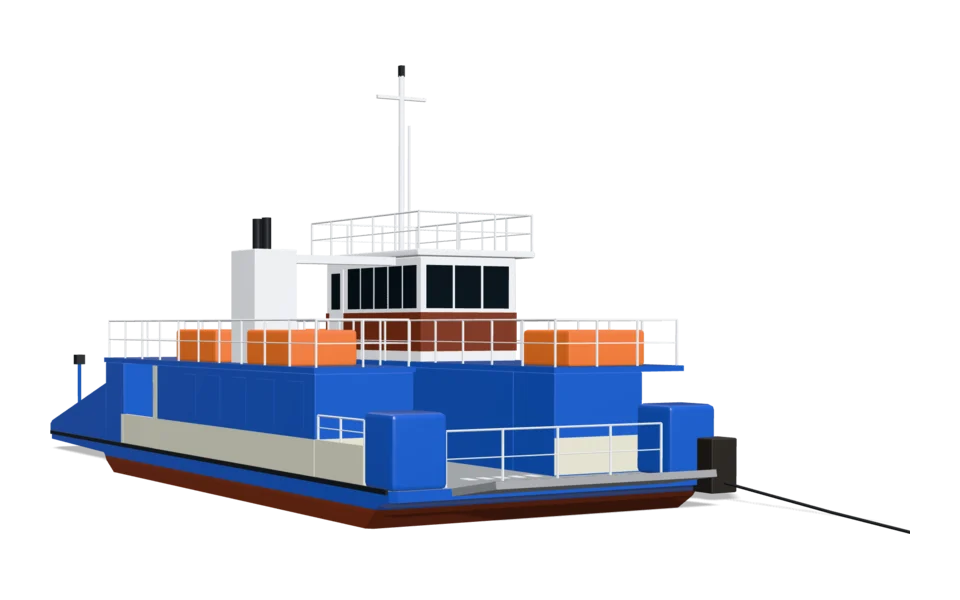
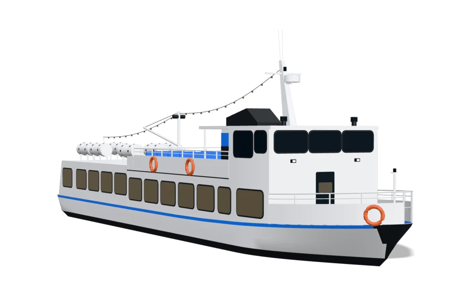
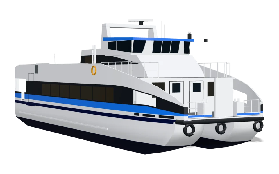
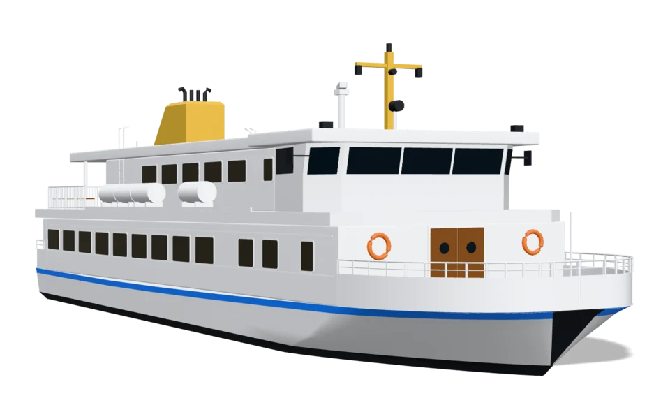
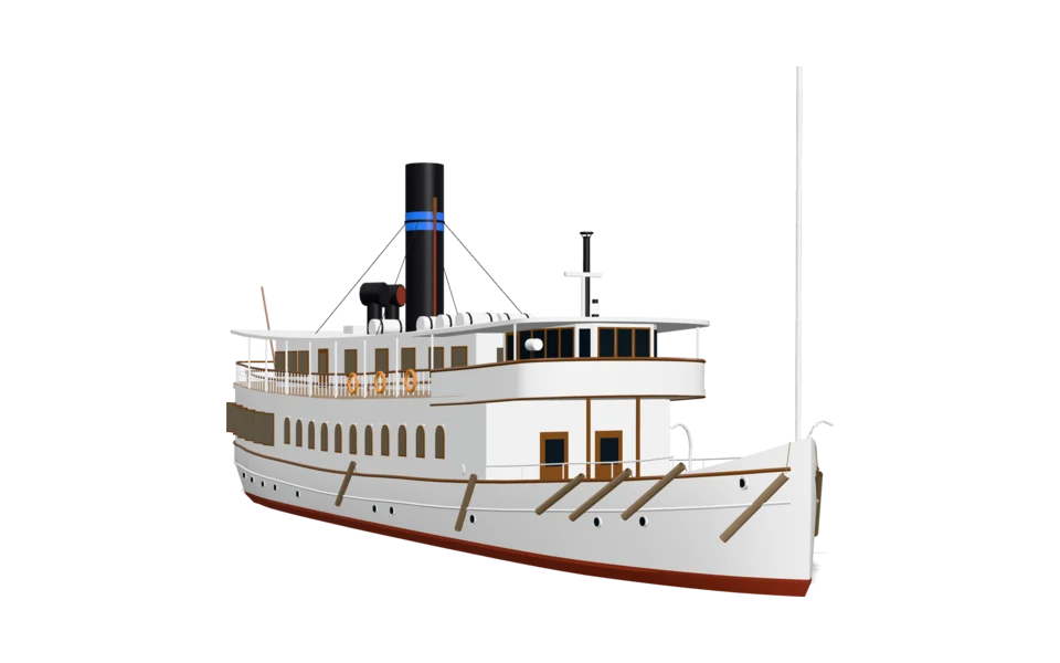
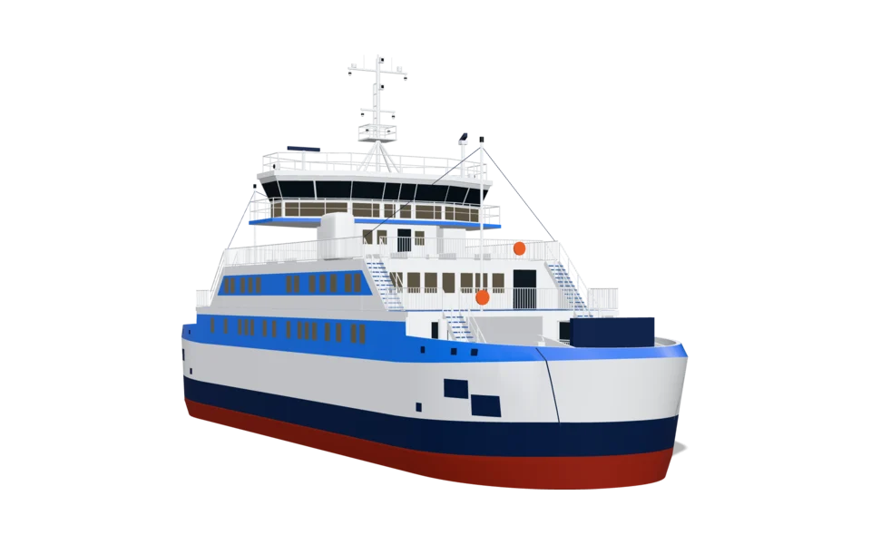
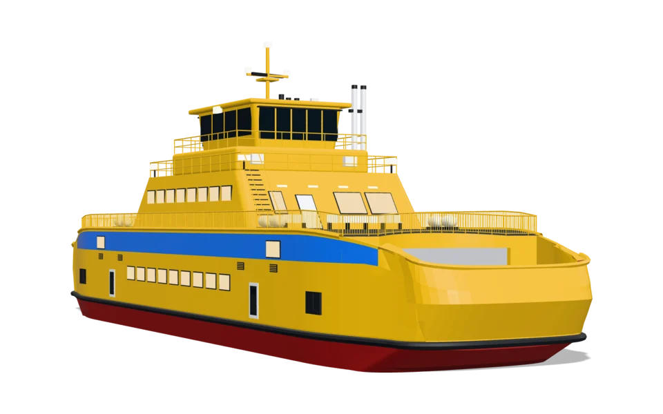
The vehicles
In three formats from the same model: the map marker for the app, the web model for the web map and the film model. All in glTF.
How it works
Linjeliv is built to be easy to start with. First the vehicle on your map, then the rest when you want it.
A small package, done really well. We start with what you need first, usually one vehicle on your map, and add more when you want it.
Half an hour, online. We show the vehicles on the map in your colours. You tell us what your map looks like today and what you want to show on it.
Your developers get the package and a pilot app to start from. The vehicle follows your line and grows from arrow to vehicle. The line, the camera and the positions are yours, as today.
We set the colour and the arrow together. If you want a wrap of your own, you make it with the template, or we make it.
More vehicles in the app, 3D on the web, film for campaigns, themes and kids mode.
We put no prices here. The arrangement depends on which vehicles and channels you need, and we go through it in the walkthrough. Book a walkthrough
In three formats from the same model: the map marker for the app, the web model for the web map and the film model. All in glTF.
The bus in 32 directions and five angles, so that it looks right however the map is turned and tilted.
The logic for arrow and vehicle at every zoom, the arrow, and the smoothing of the positions.
With a script that puts the wrap on. The templates are in English.
When the vehicles get better, you get the new versions.
The information is on the vehicle itself, not in a box beside it.
Linjeliv is like an add-on to the map you already have. It is not a new map platform and not a tool for map data. It is the vehicles, and the information that belongs to them.
Details decide everything.
Every vehicle starts in sources: data sheets, dimension drawings and photos taken straight from the side, the front and above. We measure in the pictures and write the measurements into the build.
The vehicle is built by a script, never by hand. So it can be rebuilt when something needs fixing, and the measurements are checked every time. If anything is off by more than a couple of centimetres, the build stops.
Doors, lifts and ramps are built to move. The buses' doors are tested through their whole movement against the body, the interior and each other.
No brands, no logos and no model names. The original decides the proportions, not the identity.
An honest list, so that you know what is ready and what is on its way.
| Part | Status |
|---|---|
| The bus as a marker in the app (Apple Maps, React Native) | In pilot |
| Every vehicle in 3D, with a configurator | Available |
| 3D on the web map (MapLibre) | In the map demo |
| Doors, lift and ramp on the map | In the map demo |
| More vehicles as marker pictures for apps | On request |
| Ferries, boats, the aeroplane and the helicopter on the map | Not yet, they need a route to follow |
| Kids mode | Every vehicle |
| Themes | Christmas. More are on the way |
| Wrap templates | City bus, minibus and regional train, and four toys |
| Small city bus | On the drawing board |
No. Linjeliv is for everyone who wants to show traffic and vehicles on a map: operators and journey planners, mobility and map apps, fleets with taxis, deliveries or ferries, and municipalities. The focus is always the vehicles on the map.
No. Linjeliv is like an add-on to the map you already have. You keep your map, your line and your data. Linjeliv draws the vehicles.
No. Linjeliv is the vehicles and the information that belongs to them: the colour, the sign, where they are and which way they are going.
No. In apps with Apple Maps the vehicle is drawn as pictures from the same model. On the web the model is drawn in 3D in maps with custom layers, today MapLibre.
Today MapLibre. Other web maps with custom 3D layers may follow, but we have not tried them yet.
No. Your app draws the line as today. The vehicle follows it.
From your feed, GTFS-realtime or your own. Linjeliv smooths them, but never guesses where the vehicle is.
No. Your app controls the camera as today. Linjeliv only reads it and tells you where the vehicle is drawn, so that your follow mode follows exactly what is shown.
The city bus is there today, and the toy bus for kids mode. More vehicles are rendered as marker pictures from the same models when you need them.
Yes. Use ours as it is, black with a white edge, recolour it in code, change its shape or draw your own.
Yes. The vehicles, the lights and the arrow are made for both a dark and a light map.
No. They are models of our own, built to measurements from data sheets, drawings and photos. They have no brands and no logos.
Yes, that is the idea. The same vehicles are in the app, on the web and in film. What is included we go through in the walkthrough.
Download the vehicle's template, paint on the surfaces and run the script. No 3D software needed. The windows are never printed. There are templates today for the city bus, the minibus and the regional train, and for four of the toys.
Every vehicle comes as a toy, with its own colours and the same moving parts. It is a choice in the app. The user turns it on themselves.
Yes. Snow and other effects are not shown when the user has chosen Reduce Motion.
It depends on which vehicles and channels you need, so we put no prices here. Book a walkthrough, and we will talk about what suits you. We are happy to start with a pilot.
Linjeliv is developed by PixelPappa.
We show you Linjeliv in a short walkthrough: the arrow, the bus and how it follows a line. Then you decide whether to go on.
Book a walkthrough See how it works
30 minutes, online. We show the vehicles on the map in your colours.