On the map
The same vehicle, two screens.
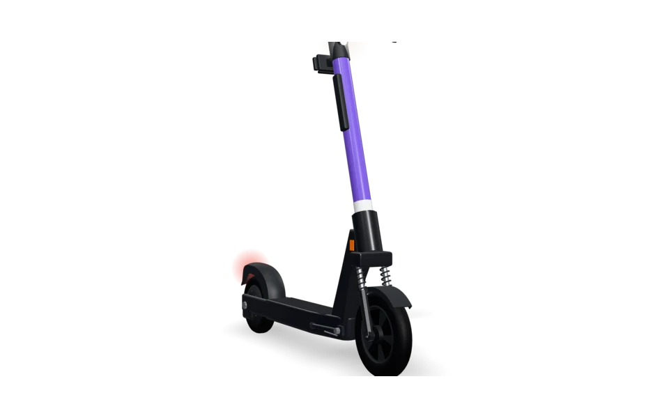
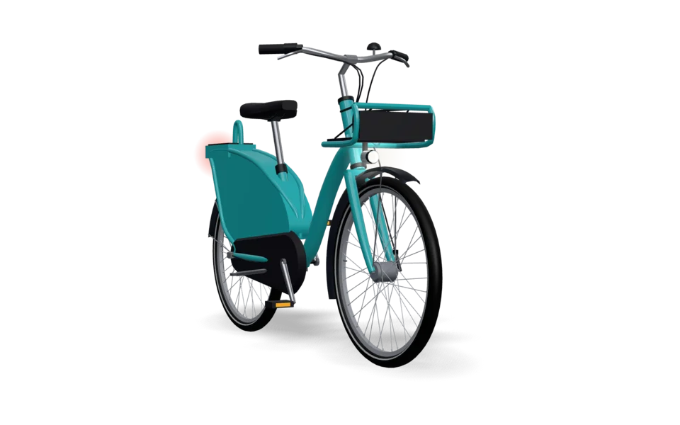
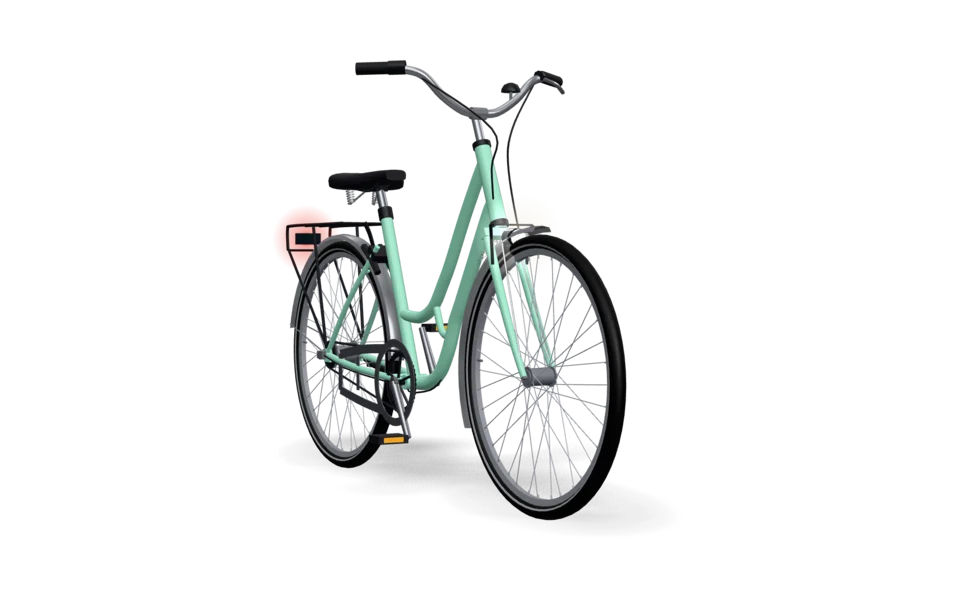
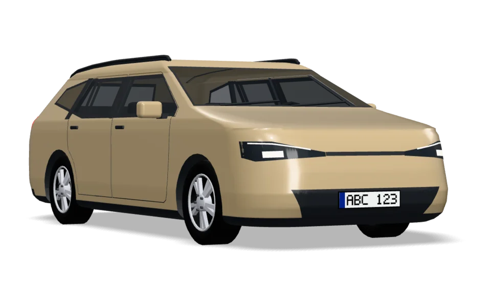
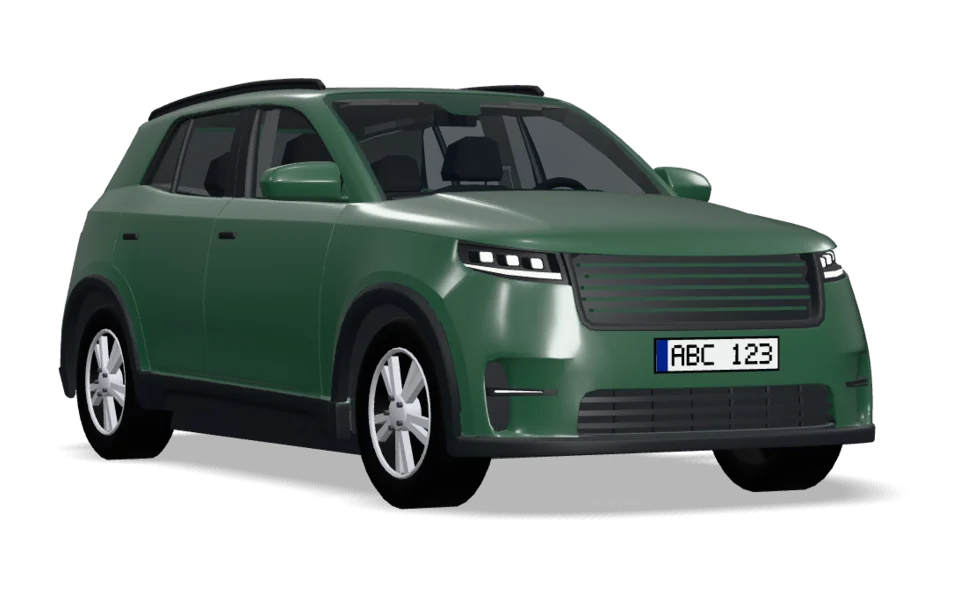
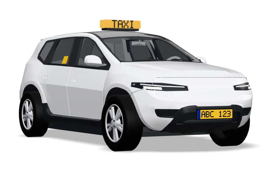
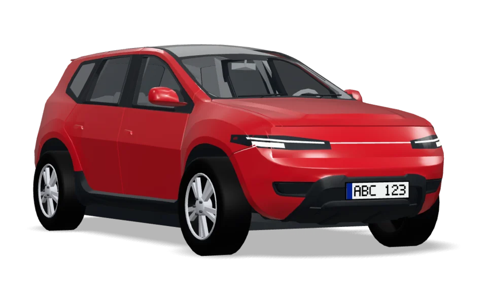
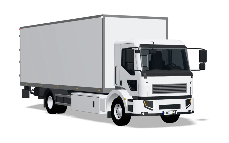
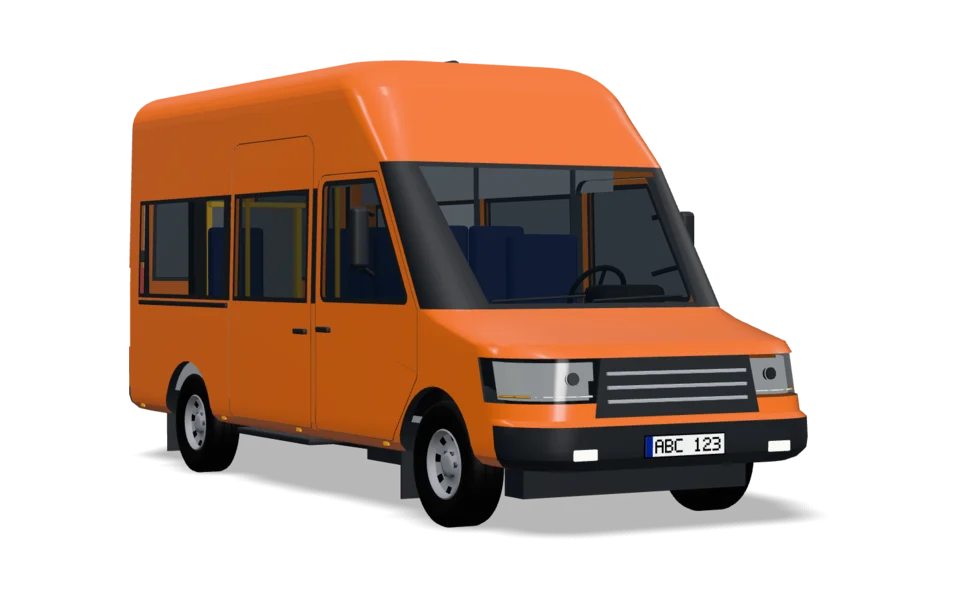
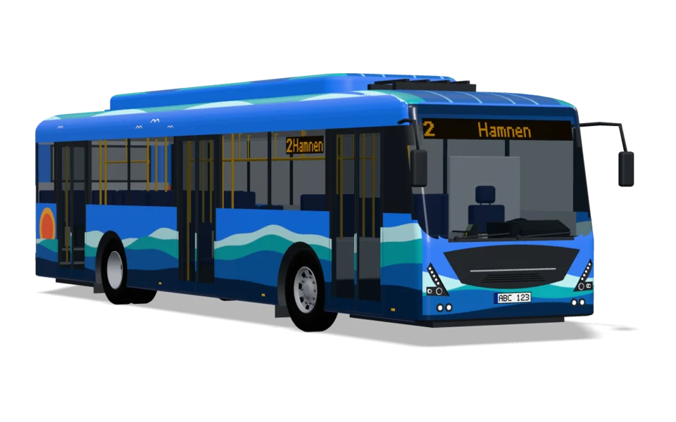
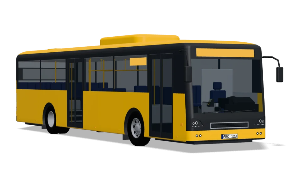
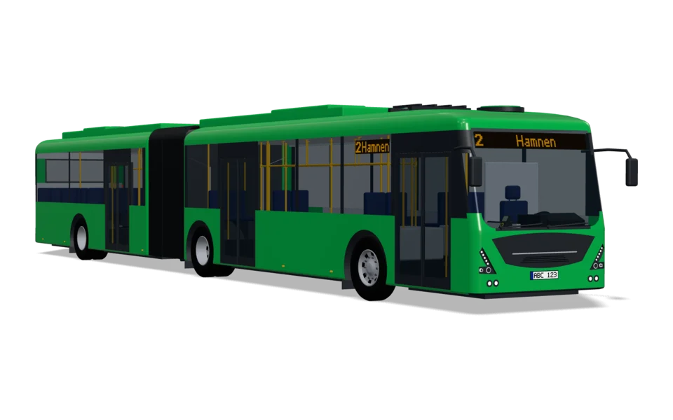
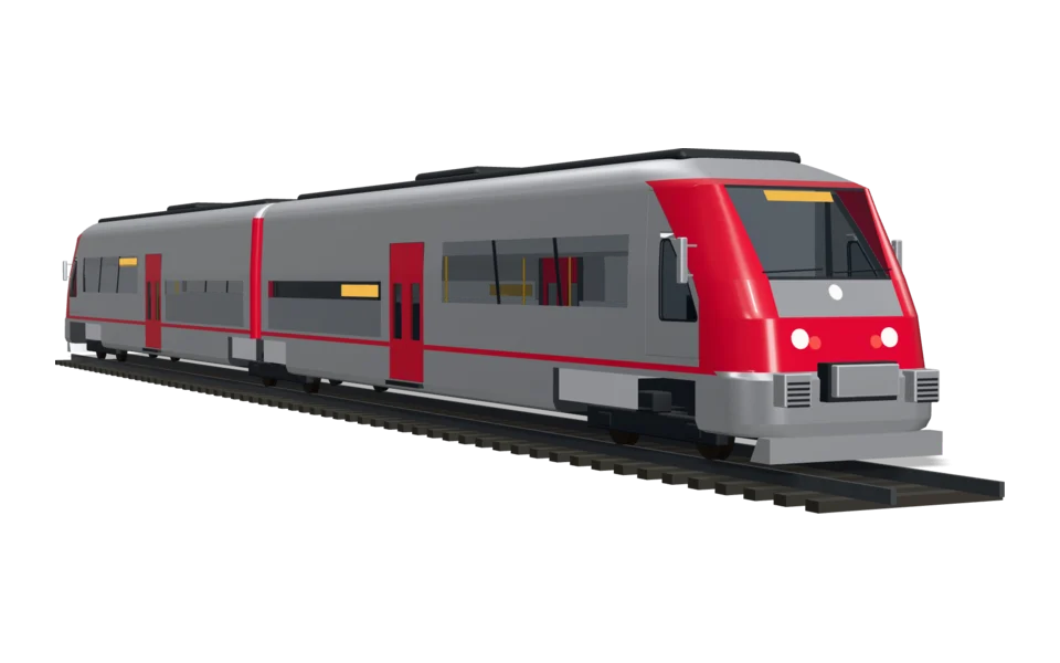
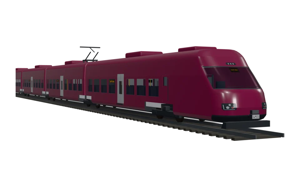
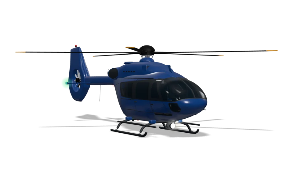
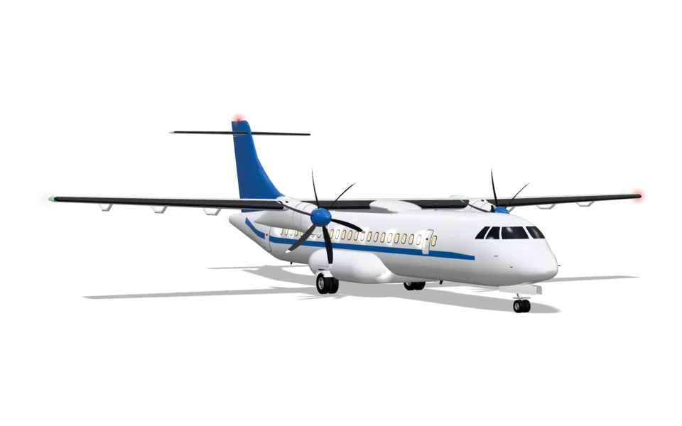
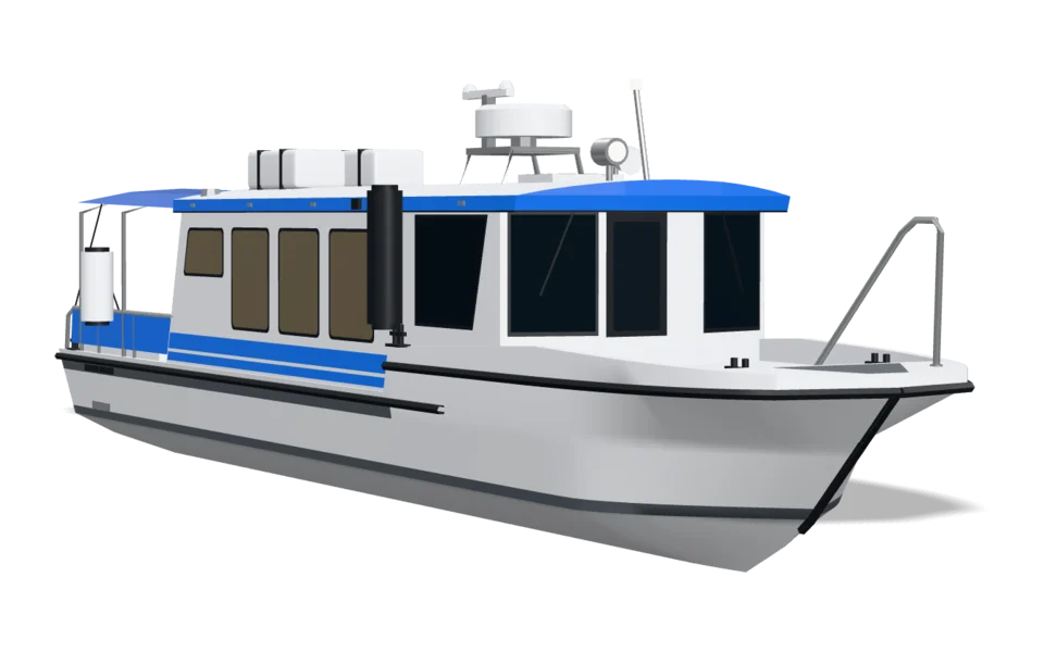
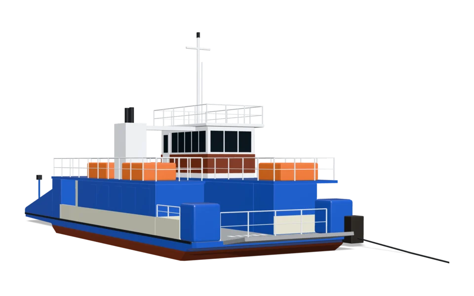
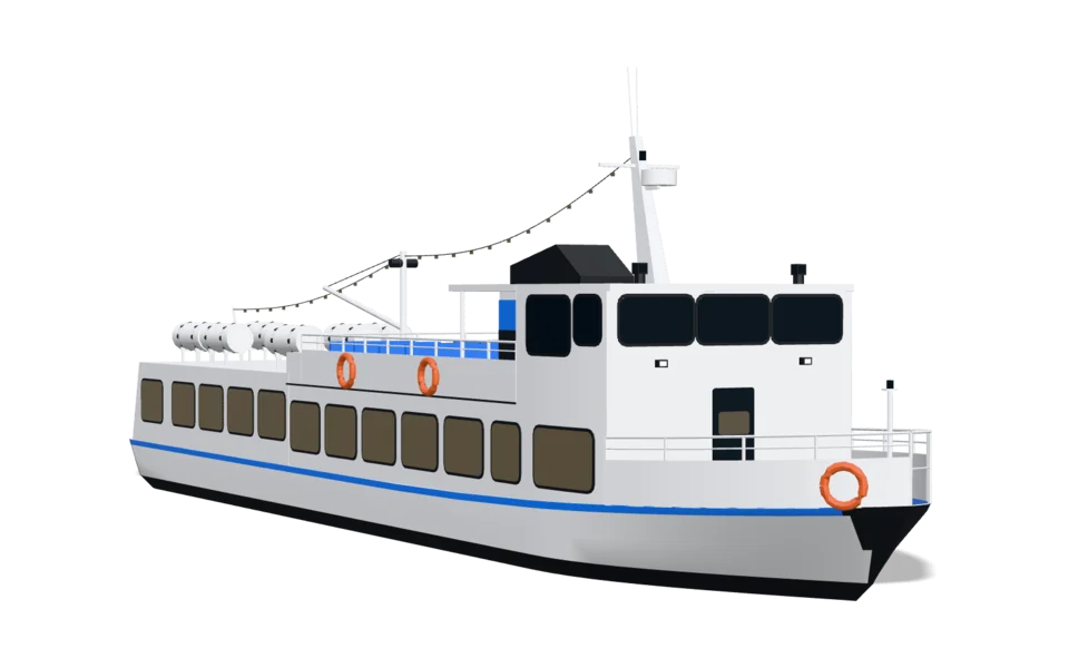
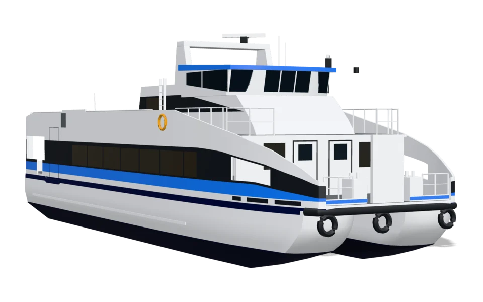
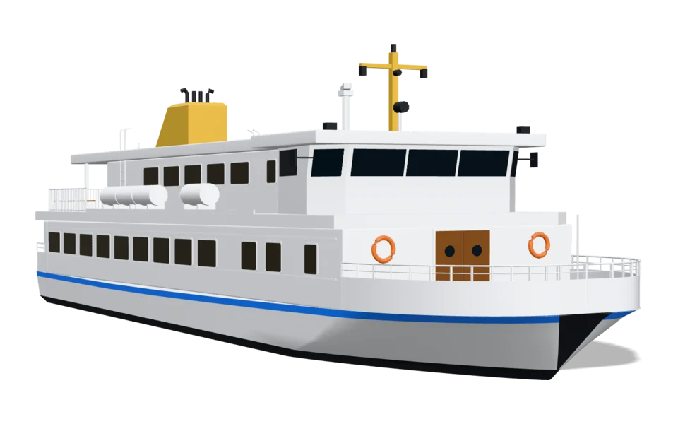
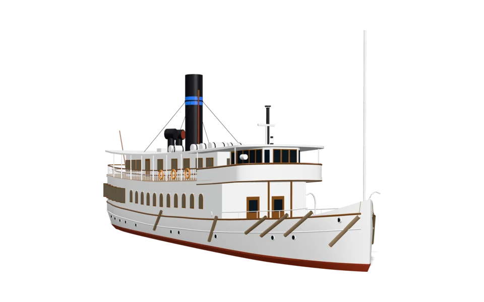
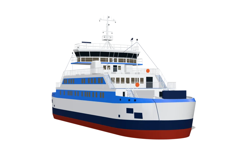
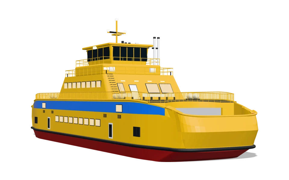
Choose a vehicle and a map. You see it at once on a web page and on a phone, side by side. Both maps are live: zoom in, and the arrow becomes a vehicle.
Laddar kartan…
Laddar kartan…
Open the map on your phone
Scan the code with your camera. The map opens with the same vehicle and map.
From arrow to vehicle.
Zoomed out, the vehicle is an arrow, as travellers are used to. As you zoom in it grows smoothly into the vehicle at its real size, seen from slightly above. Nothing jumps and nothing flickers.
- Follows your line. You draw the line as today. The vehicle follows it and turns with the map.
- Smooth movement. The positions come from your feed. Linjeliv smooths them, so the vehicle glides instead of jumping.
- Your arrow or ours. The default is a black arrow with a white edge, white with a dark edge on a dark map. Colour it, change its shape or use your own.
- In the app and on the web. In apps with Apple Maps the vehicle is drawn as pictures from the same model. On web maps the model is drawn in 3D, today in MapLibre.
The maps are MapLibre with OpenFreeMap's styles. The kids' style is made from the light one. The line is road data from OpenStreetMap through real stops, not a real bus line. More settings are in the map demo.